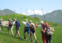
Eight days of walking for the most classic trekking in the Alps!
From Saturday 16 to Saturday 23 August 2025
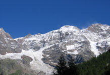
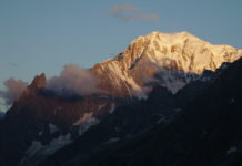
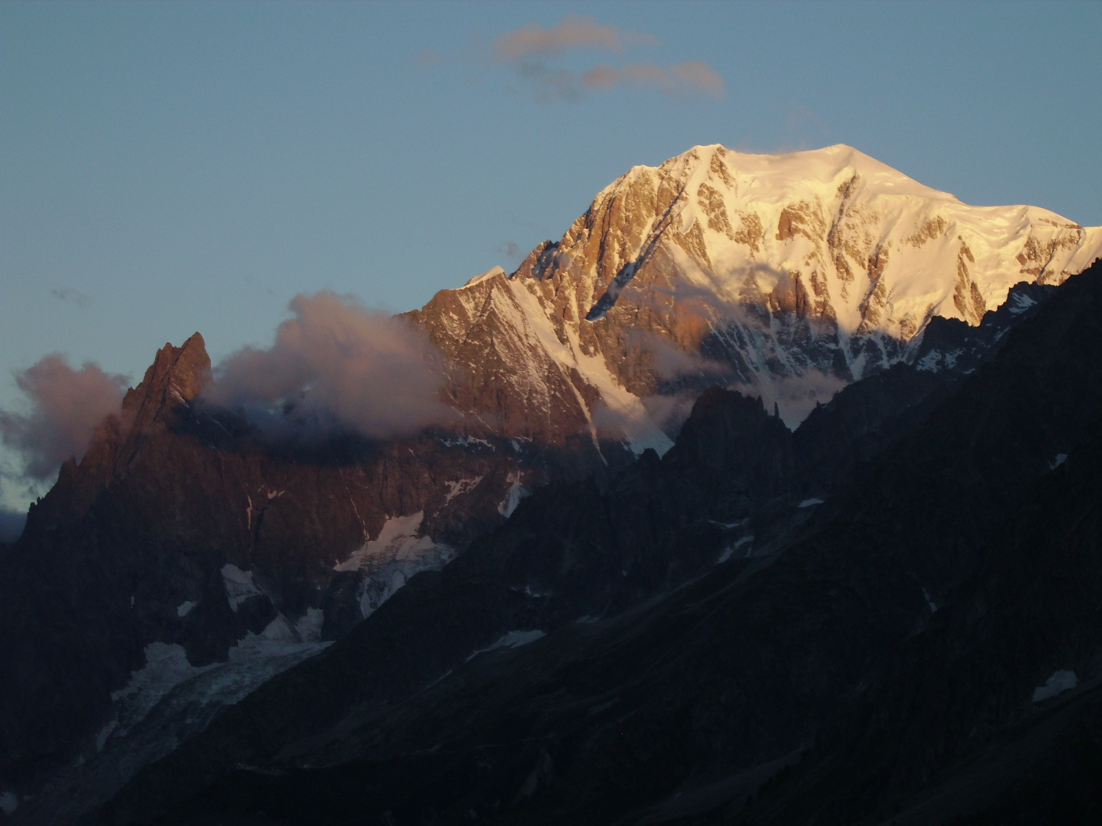
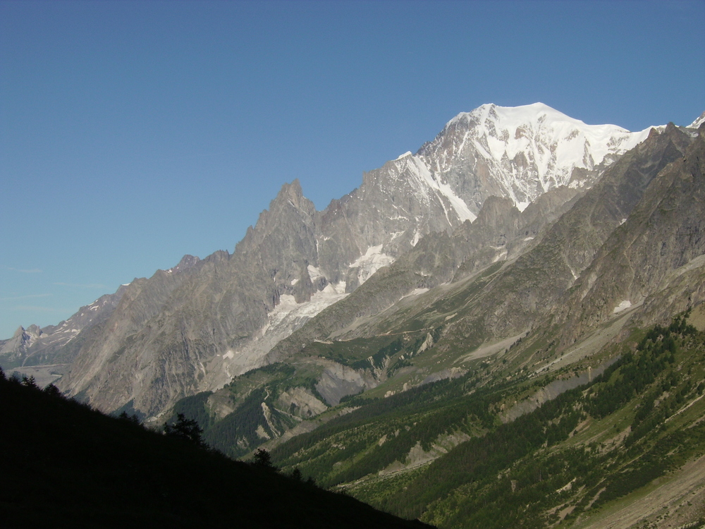
Mont Blanc, with its 4810 meters above sea level, is the highest mountain in the Alps. Here, with the first ascent in 1786, mountaineering was born. Here, even today, there remains the possibility of admiring a landscape of incredible beauty and charm: large glaciers, overhanging rocky peaks, but also gentle pastures and crystal clear waters.
To contemplate all this, tourists come from every corner of the world, often staying for just a few hours. We, who are used to doing things calmly, will walk for eight days along one of the most classic treks in the world: the Tour of Mont Blanc. Starting from Courmayeur, in Italy, we will cross Champex, in Switzerland and Chamonix in France: three countries, three cultures, three cuisines!
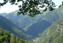
From the Giant’s Tooth to the Mer de glace, from the twenty-eight peaks above 4000 meters above sea level to the coniferous forests, we will travel through wild valleys and renowned tourist centres, perfectly preserved villages and uncontaminated natural environments.
We will then complete the entire circumnavigation of the massif, along which typical alpine refuges and stopping places (in French “gite d’étape”), ready to refresh ourselves, will make this adventure even more unforgettable.
If you love the mountains you can’t miss it!
If you love mountains, you cannot miss it!
PROGRAMME
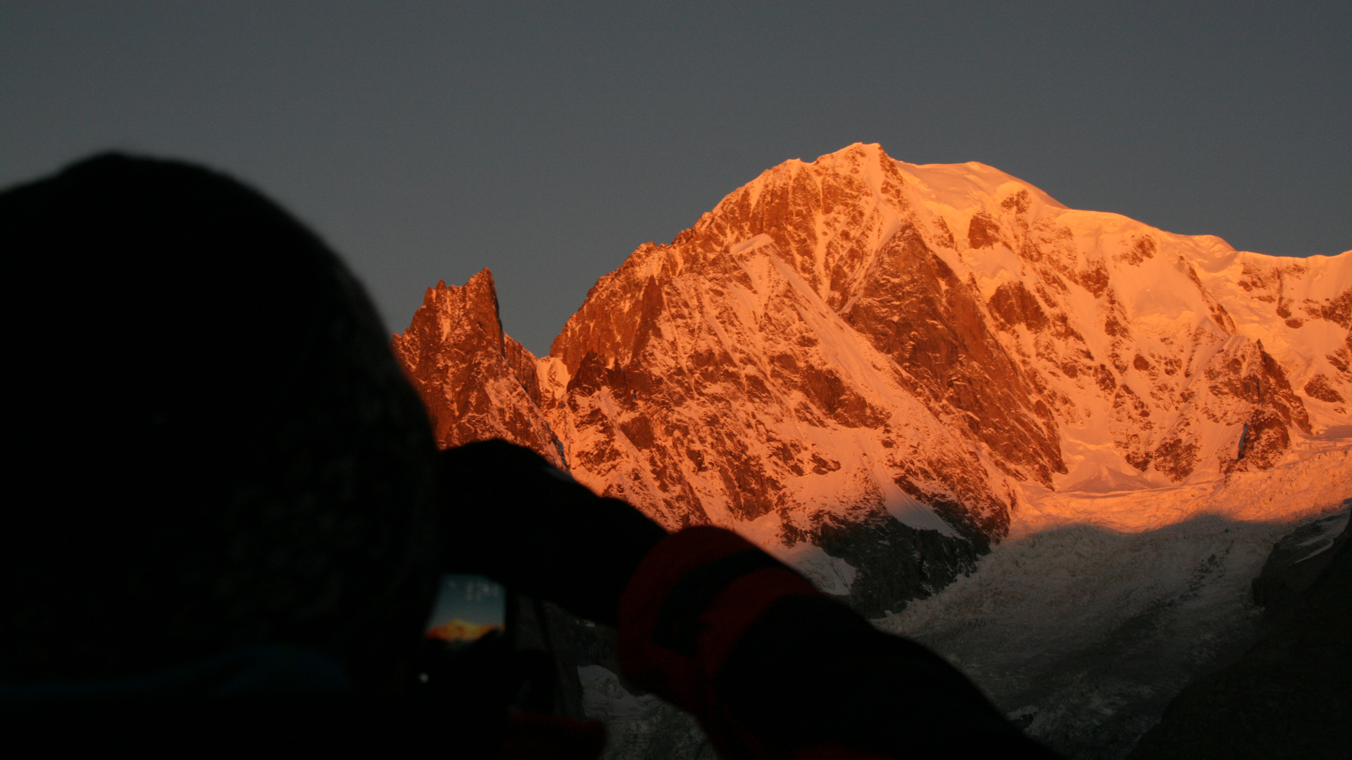
1st day: we start with a quiet, warm-up stage… We find ourselves in the center of Courmayeur at 9.30 and go up to Rifugio Bertone, an incredible panoramic point on the southern side of the massif. Anyone who wants can stop here (4.5 km and 800 m uphill), but we advise you to leave the bulk of your backpack and continue with us up to Mont de la Saxe, at 2346 m, where the view of the pillars of Mont Blanc, the Giant’s Tooth and the Grandes Jorasses becomes even wider!
This first stage lasts 4.5 hours, with a length of 10 km, an altitude difference of 1150 meters and a descent of 400 metres. Dinner, night and breakfast: Rifugio Bertone, Courmayeur.
 2nd day: we continue the Tour at high altitude, along a splendid balcony path overlooking the southern side of the massif. Thus we arrive at the famous Bonatti refuge mid-morning; we are dominated by enormous rock walls and glaciers, while the panorama opens up more and more towards Mont Dolent, “the top of the three countries”, where Italy, Switzerland and France meet. A short stop at the Elena Refuge and then up to the Grand Col Ferret (2537 m, the highest point of our Tour), where we enter Swiss territory. We then descend into the Swiss Val Ferret, up to the La Peule mountain pasture and refuge.
The second day of walking lasts 8 hours, with a length of 21 km, a difference in altitude of 1200 meters and a descent of 1100 metres. But, for those who want, it can be made easier by going down to the valley floor and using the Val Ferret public shuttle. Dinner, night and breakfast: La Peule, Ferret (CH).
 3rd day: after breakfast we go down to the small village of Ferret, where we meet the bus that takes us first to Orsiere and then to Champex. From here, through woods and mountain pastures, we continue our journey. Once you arrive on the plateaus of Bovine the panorama expands dramatically: on one side the Valais, on the other the city of Martigny and, in the distance, even Lake Geneva! After stopping for lunch we descend towards the Col de la Forclaz: very steep vineyards, ice railways and invisible military posts will surprise us…
Today’s stage lasts approximately 6 hours, with a length of 16 km, an altitude difference of 800 meters and a descent of 1100 metres. Dinner, night and breakfast: Col de la Forclaz stopover (CH).
 4th day: today we enter France. From the Col de la Forclaz we descend to the village of Trient, and then begin the panoramic “Vallorcine Variation”, which takes us to the top of the Chamonix valley. Here the view is truly magnificent, with the Aiguilles Rouges on one side and the entire north side of the Mont Blanc massif on the other, including the summit! The descent, between pastures and woods, leads us to the tiny village of Tré le Champ, where we will spend the night.
This day lasts approximately 6 hours, with a length of 14 km, a difference in altitude of 1000 meters and a descent of approximately 1150 metres. Dinner, night and breakfast: La Boerne stopover, Tré le Champ (F).

5th day: today’s path crosses the Aiguilles Rouges Nature Reserve: this is the most beautiful panoramic balcony on the northern side of the Mont Blanc massif and certainly the most famous. From here you can admire several glaciers, including the famous Mer de Glace, and countless granite spiers and understand the incredible story of the first ascent to Mont Blanc. In the afternoon we descend into the Arve valley and reach Chamonix, the town where mountaineering was born in 1786!
This stage lasts 6 and a half hours, with a length of 16 km, an altitude difference of 850 meters and a descent of 1200 metres. Night and breakfast: Stopover Le Chamoniard Volant, Chamonix. Dinner: restaurant in the center.
6th day: after breakfast we take the bus to the town of Les Houches, then we go up by cable car to Bellevue, a real “belvedere” dominated by the north-west side of Mont Blanc. From here we can observe the itinerary most used today for the climb to the summit, with the various refuges that act as a support point. We continue our journey crossing an impressive suspension bridge and passing at the foot of large glaciers. Among pastures, mountain pastures and coniferous forests we arrive at the village of Les Contamines. We then go up the valley floor to end at the enchanting Nant Borrant refuge, where we will spend the night.
Today you walk for 6 and a half hours, with a length of 17 km, a difference in altitude of around 1000 meters and a descent of around 1350 metres. Dinner, night and breakfast: Refuge Nant Borrant, Les Contamines (F).
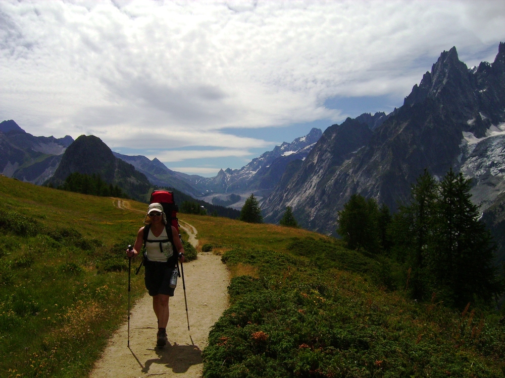
7th day: we climb inside the Contamines-Montjoie Nature Reserve, to reach first the Col du Bonhomme and then the Col de la Croix du Bonhomme, with the refuge of the same name. We are at around 2450 m above sea level and from here the descent begins on the Vallée des glaciers, the valley of the glaciers, finally reaching the tiny village of Les Chapieux, where our refuge for tonight is located.
The day includes 5 and a half hours of walking, with a length of 13 km, an altitude difference of 1050 meters and a descent of 950 metres. Dinner, night and breakfast: Refuge de la Nova, Vallée des glaciers (F).
8th day: back to Italy! Today we close our tour around Mont Blanc by crossing the Col de la Seigne, the last grandiose balcony overlooking the King of the Alps. We start the day along the valley floor, then go up to climb over the pass at 2515 meters above sea level, and then descend into the Val Veny of Courmayeur. We stop at the famous Rifugio Elisabetta and then, after having skirted Lac Combal, we meet a bus which takes us back to our starting point. Thus another great adventure ends: see you next time!
The last stage lasts 7 hours of walking, with 20 km of development, a difference in altitude of 1050 meters and a descent of 950 meters
ATTENTION: the travel times indicated are average actual walking times, excluding stops.
ACCOMODATION:
| Courmayeur (I), Rifugio Bertone, 2000 m |
| Ferret (CH), Gîte Alpage de La Peule, 2100 m |
| Col de la Forclaz (CH), Gite du Col de la Forclaz, 1527 m |
| Tré le Champ (F), Refuge La Boerne, 1395 m |
| Chamonix (F), Chalet-Gite Le Chamoniard Volant, 1035 m |
| Les Contamines (F), Refuge Nant Borrant, 1459 m |
| Vallée des Glaciers (F), Refuge de la Nova, 1554 m |
Please note that properties shown are representative of the accommodation we use on this trip, may not be inclusive of all accommodations we use, and are subject to change.
PARTICIPATION FEE: 590.00 €;
COSTS DURING THE TOUR: 600.00 €;
Indication of expense for accommodation in refuges and stopping places, with half board (drinks excluded) – transport: all cable car and bus transfers indicated in the program: 600.00 Euros.
Personal insurance, lunches, drinks in addition to water, any extras, any tips at the expense and discretion of the participant.
The Guide reserves the right to change itinerary based on the conditions of the mountain or the psychophysical conditions of the participants.
TOTAL AMOUNT: 1.190.00 €;
WHAT’S NOT INCLUDED:
- International airfare; transfer to/from Courmayeur; personal insurance; lunches; sodas and alcoholic beverages. Should you require, we are able to organize your transfer from the airport to Courmayeur and back. We are also able to book your accommodation for the nights before and after the trek.
- Extras.
- Any tips.
WARNING: The tour of Mont Blanc has a normal hiking difficulty. You must consider the capability of enjoying eight days of walking, hiking along steep slopes. In some stages these differences in altitude and some distance can be shortened by using ski tows (ask for more details).
The guide reserves the right to change the itinerary according to the conditions of the mountain or the physical conditions of the participants.
WHY WITH US:
- We live at the footsteps of these mountains and we are extremely knowledgeable regarding the area.
- We speak English
- We are more affordable and more experienced than many other companies.
WHERE IT IS:
The trek begins and ends in Courmayeur, in Italy – look at Google Maps. This is 100 km from Genève (Switzerland), 150 km from Turin and 220 km from Milan.
HOW TO BOOK: just send us an e-mail at info@mountainplanet.net at least four weeks before .
GROUPS: if you would like to come as a private group we can organize your holiday at any time during the year, on the dates that suit better for you. We can tailor-make the price, the itinerary, including also luggage transfers between stages for trekking tours. Feel free to contact us for any specific requirement: info@mountainplanet.net
Clothing and equipment
Good, sturdy trekking shoes, high above the ankle and already tested, are required (we recommend not arriving with new shoes, which could hurt!). Clothing must be comfortable, warm or cool depending on the temperature: we recommend dressing in layers (undershirt, long-sleeved shirt, fleece) with technical material, which dries quickly, in order to limit changes as much as possible. A good backpack is essential (be careful that the bigger it is, the more you fill it with useless things), waterproof jacket and overtrousers, warm gloves and hat, cream and sunglasses, a water bottle (or plastic bottle) for drinking water. at least 1.5 liters, some emergency food (some energy bars) and something to eat for lunch on the first day. Furthermore, don’t forget the necessary items for personal hygiene, wet wipes, a towel and a sleeping bag (which can however be purchased in the refuges). Telescopic trekking poles, a pair of gaiters and an umbrella are highly recommended.
One last tip: backpacks are generally not very waterproof, so it is better to get a special cover and/or close all your luggage in plastic bags.
Note: when going abroad it is recommended to bring a valid identity document and health card.


